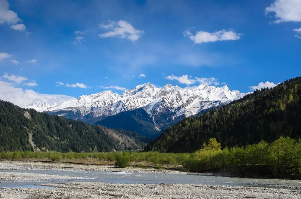
Hiking in Racha
Lagodekhi is a relatively new destination for hiking enthusiasts. Although the Lagodekhi National Park was established in 1912, the lack of infrastructure in the past prevented travelers from visiting it. At present, there is still a process of construction and widening of hiking trails, improvement of mountain huts and several new accommodations have been added in Lagodekhi town.
Trails
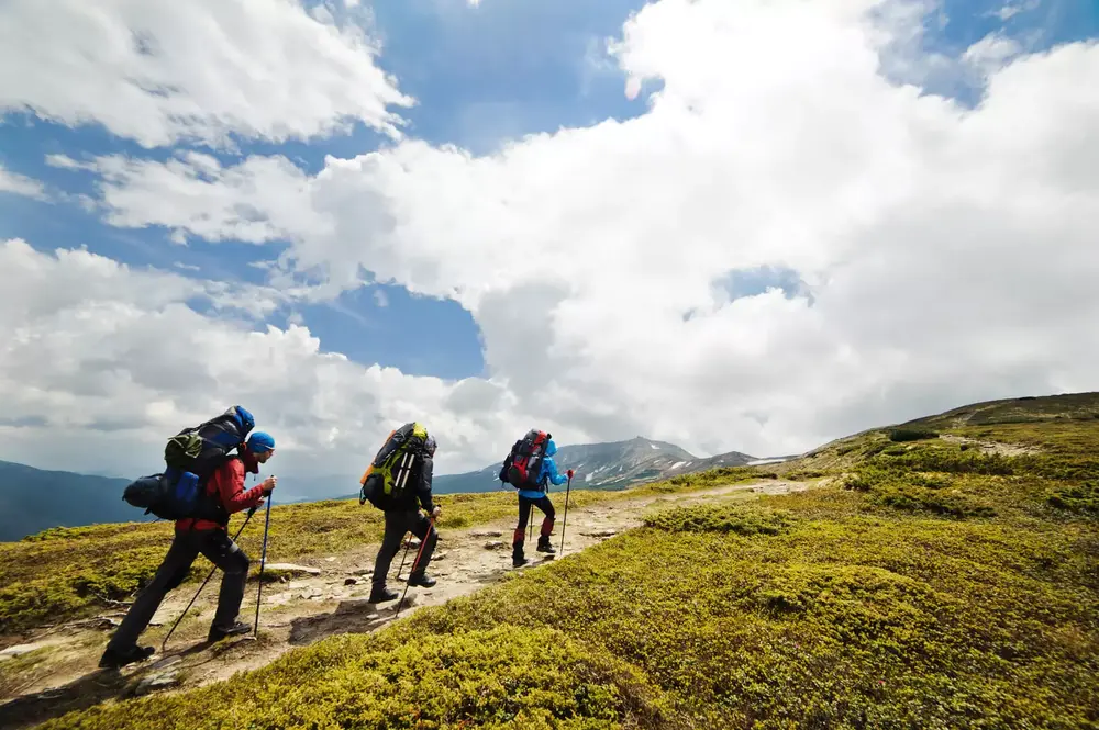
Almost all trails are well marked, there are several huts along the multi-day trail to alpine lakes, and the area is patrolled by mountain rangers.

Structure
From 590m to 3500m, the area consists mainly of forest and alpine meadows. There are NO glaciers in the Lagodekhi area, only snow during the winter months.

Good to Know
Lagodekhi is border region with Azerbaijan and Russia, so before your hiking trip to the Black Rock Lakes, make sure to get hiking travel permits.
Distance: 160km from Tbilisi (2.5 hours).
Best time for hiking: You can hike all year around, though July and August could bit slightly too hot (except Black Rock Lake route), better to do during the spring or autumn.
Udziro Lake
Distance: 16.6 km
Duration: 8-12 hours
Minimum Elevation: 1,345m
Maximum Elevation: 3,060m
Total climb: 1,800m
Total descent: 1,640m
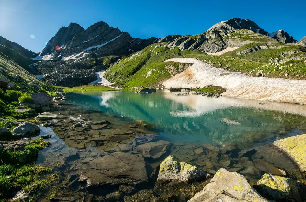
The visit to the Udziro Lake is the most famous hike in Racha and for a good reason. This beautiful, crystal clear alpine lake has one of the most magnificent panoramas in the Caucasus Mountains. The trek is of medium difficulty and is best done in 2 days (although it can be done in one day, it may be too strenuous). Be sure to bring a tent and a warm sleeping bag for sleeping at high altitude.
Ghebi – Zeskho
Distance: 48km
Duration: 2-4 days
Minimum Elevation: 1,390m
Maximum Elevation: 2,900m
Total climb: 2,400m
Total descent: 1,950m
Rarely used by tourists, the Ghebi-Zeskho trail can be used to go from Racha to the Svaneti region. Parts of the route are taken by wilderness and if you can’t rely on your navigation skills, it’s better to avoid this route. You will pass by two high alpine lakes, cross mountain rivers and may come across some abandoned medieval towers. The best time is early summer or late fall, when the high grass of the tracks has not grown or is fading. Bring your tent, as there are no settlements on the way.
Likheti – Shkedi
Distance: 32 km
Duration: 2-3 days
Minimum Elevation: 815m
Maximum Elevation: 3,028m
Total climb: 2,550m
Total descent: 1,980m
After passing the ruins of the VIII century monastery, the trail begins to climb towards Keli Pass. On the way you will see old remains of shepherd’s shelters, which is a good place for camping. The next day you can cross the Keli pass and camp near the 3 lakes. The next day you can descend to Shkedi village. There is no need to carry excessive amounts of water, the trail is full of drinkable mountain springs.