Hiking in Kazbegi
For your trekking trip in Kazbegi, you have 3 main areas to explore: Kazbek Mountain, Truso Valley and Chaukhi. Most of the trails are unmarked, especially at high altitudes where there are few tourists and occasional rocky terrain makes it difficult to navigate. Being on the northern slopes of the Caucasus mountain range, it is exposed to more cold and wind.
Trails
Very few trails go through the forest, but rather through alpine fields, rocky and icy valleys. Trails are often covered with volcanic rock.
Structure
From 1800m to 5000m, the area mainly consists of open terrain, with massive cliffs and ravines near Mt Kazbeg and Mt Chaukhi.

Good to Know
Kazbegi has many thermal naturally carbonated waters that are expressed on the ground with yellow-red hills that are safe to touch and drink.
Distance: 140km from Tbilisi (2.5 hours), 350km from Kutaisi International Airport (5-6 hours)
Best time for hiking: You can hike from June to October, as outside of these months it’s too cold and snowy to hike.
Mt Kazbek
Hiking in the hills of Mt. Kazbek is straightforward: there is a single route from the town of Stepantsminda to the peak of Mt. Kazbek (with some divergences, but they are all pretty much the same), you choose your final destination/altitude on this route, reach it and hike back to Stepantsminda:
Stepantsminda town – 1750m
Gergeti Church – 2160m
Sabertse Pass – 2945m
Altihut – 3014m
Gergeti Glacier – 3270m
Meteo Hut – 3660m
Bethlehem Church – 3870m
Mt Kazbek – 5054m
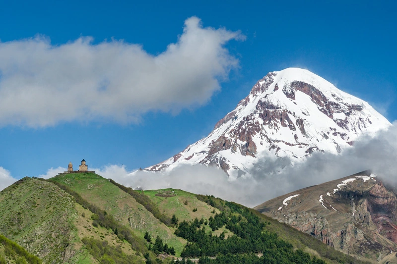
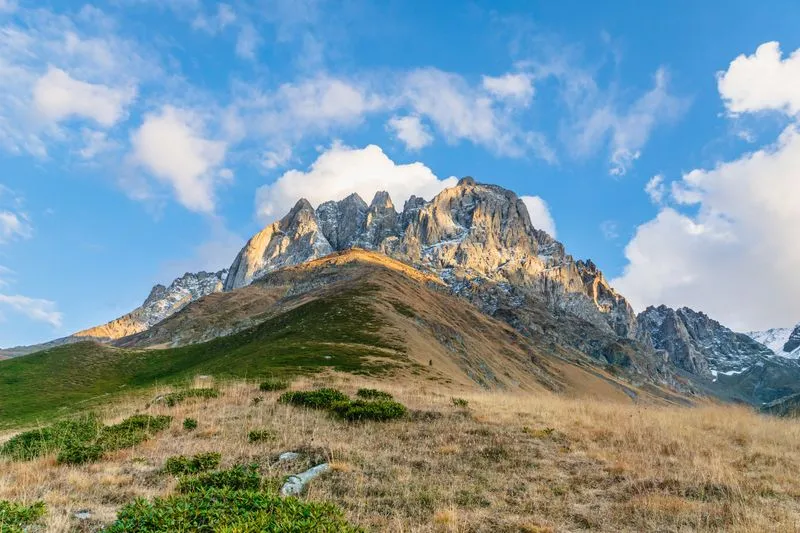
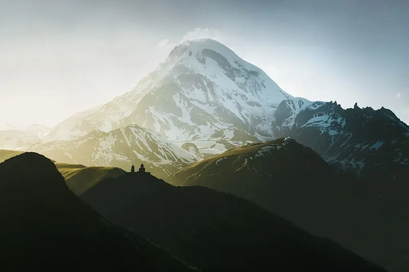 Gergeti Church & Mt Kazbek
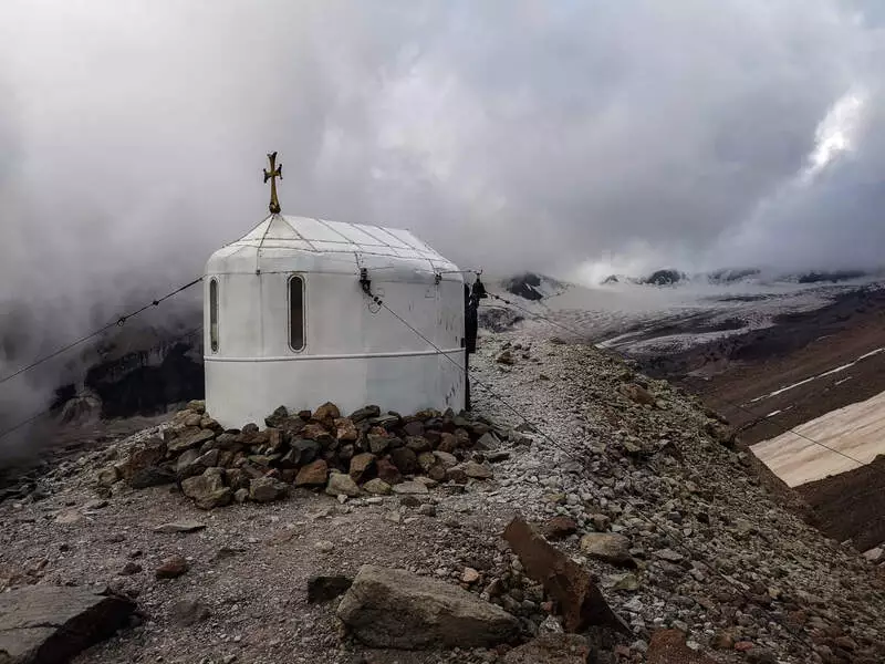 Bethlehem Church, 3870m
You can go up to Bethlehem Church with normal hiking shoes, but the top of Mt. Kazbek can only be reached with proper climbing equipment. Have enough water during your hike in this area as water sources are scarce.
Truso Valley
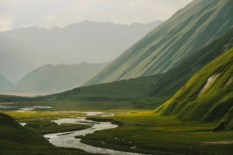
Truso Valley is 30 minutes drive from the town of Stepantsminda. The valley itself is not really suitable for hiking, as it’s mainly a flat gravel road for off-road vehicles. Here you can find pools of naturally carbonated volcanic water, which creates colorful patterns as it flows downstream.
To get the full outdoor experience on foot, you should hike to Kelitsadi Lake, which will take you one or two days. This loop goes up to 3580m near Mt Khorisari. Camping near Kelitsadi is at 3000m, so expect cool nights and occasional snowfall even in summer.
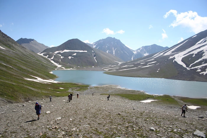 Hiking from Kelitsadi lake
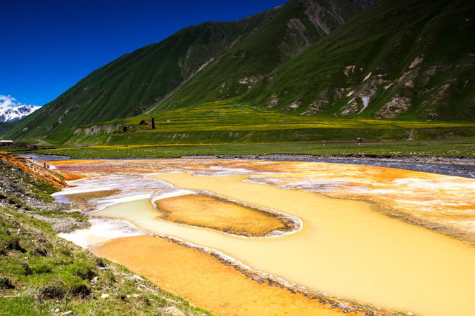 Volcanic waters in Truso Valley
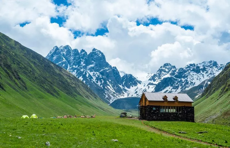
Chaukhi
By far the best place for hiking in the Kazbegi area is the area around the Chaukhi Mountains. The reason for this is that this is not volcanic terrain, with fewer rocks, so the tracks are easy to walk. Water is more abundant and drinkable as long as there is no water heater around. Camping sites are easy to find on soft grassy ground and groups of crystal clear alpine lakes can provide a refreshing feeling after a long trek.
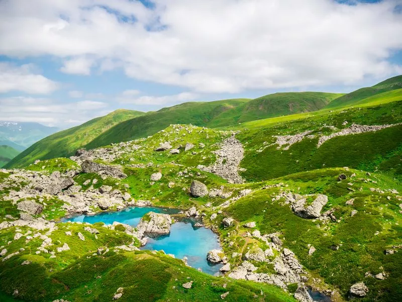 Abudelauri Lake
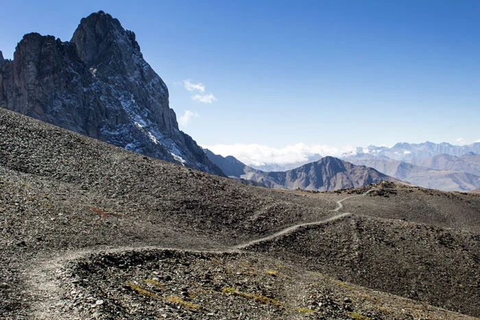 Chaukhi pass
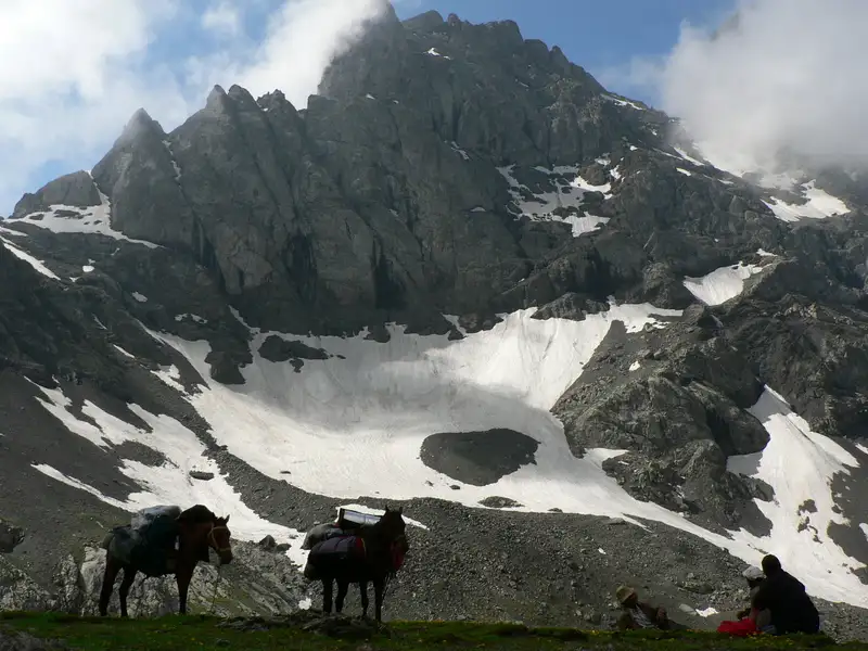 Camp nearby Chaukhi mountains
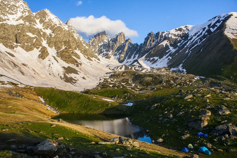 Abudelauri Green Lake, Chaukhi
The most popular route in Chaukhi is between Juta and Roshka villages. This route crosses the Chaukhi pass and visits all the lakes of Abudelauri. It is a 7-8 hour trek and be prepared to spend the night if you plan to return to your starting point.
Trails
In the Chaukhi area, the trails mainly follow the river/springs at the bottom of the valley and only climb up the mountain before the pass. This arrangement makes it easy to fill your water bottle on the way and protects you from the high altitude winds. These tracks are mostly man-made and have been used by the locals for centuries. Today some of them are marked with colored rocks along the way.
Be careful not to hike too far north and accidentally cross the border into Russia. Sometimes these mountain routes are made by wild animals and don’t necessarily show the right way. The same rule applies to routes leading to cliffs and steep, dangerous terrain.