Hiking in Tusheti
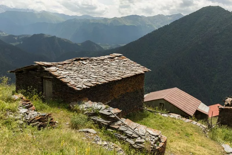
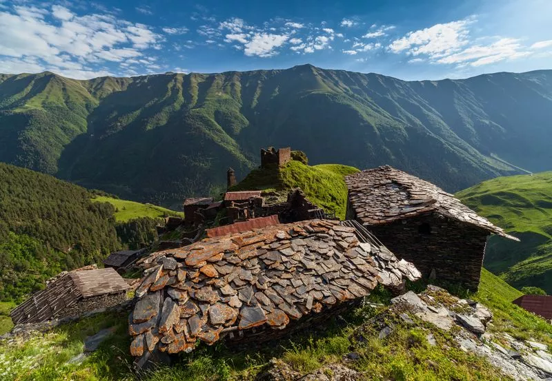
The wilderness is probably the main reason why Tusheti is adored by hikers. Unlike any other region in Georgia, there is no electricity (except solar panels) and no real roads. Traveling here is like stepping back in time, with steep slopes covered in medieval rock houses. As you hike, you will see thousands of sheep covering the slopes of massive mountains. The locals still often use horses for transportation, mostly small local breeds that are best suited for steep, high-altitude terrain.

Trails
The only properly marked trail is the one crossing the Atsunta pass, every other trail can be man, kettle or wild animal made, use with caution.

Structure
From 1500m to 4200m, the area is a mix of coniferous forests, sub alpine bushes, high altitude swamps, alpine meadows and glaciers.

Good to Know
From July to August, villages in Tusheti, one after another, celebrate the annual festival with local cuisine, beer, songs and dances.
Distance: 180km from Tbilisi International Airport (6-7 hours), or 35 flight with a helicopter.
Best time for hiking: From the end of June till the end of September. Outside of those timeframe there is a risk of heavy snowfall on passes and being stuck within Tusheti.
Tusheti, based on the riverbeds, can be divided into 3 hiking areas:
Chaghma
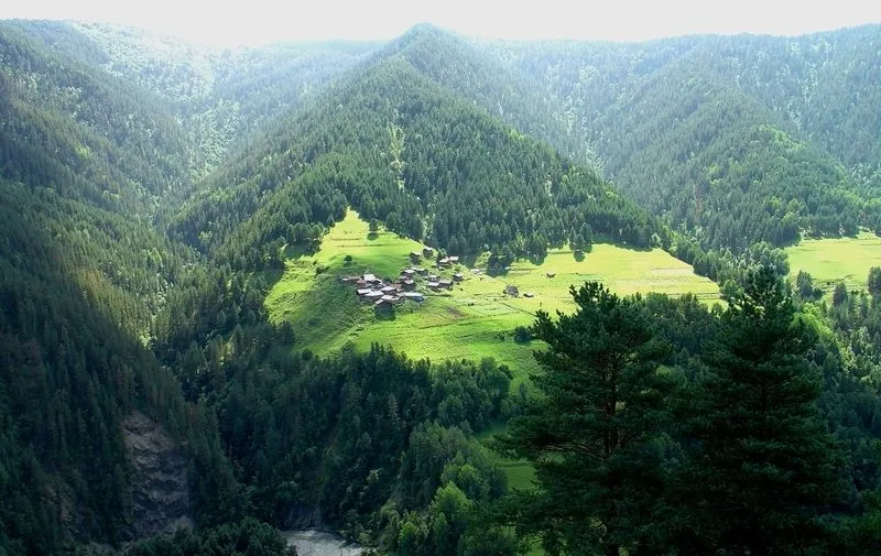
Central part of Tusheti, the area is mostly covered by thick coniferous forest. Short and day hikes are a great option here.
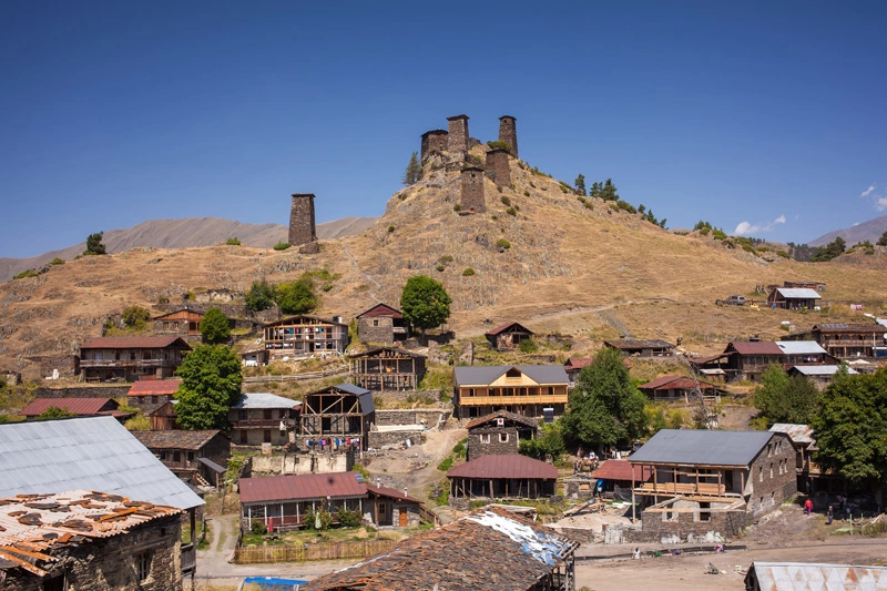
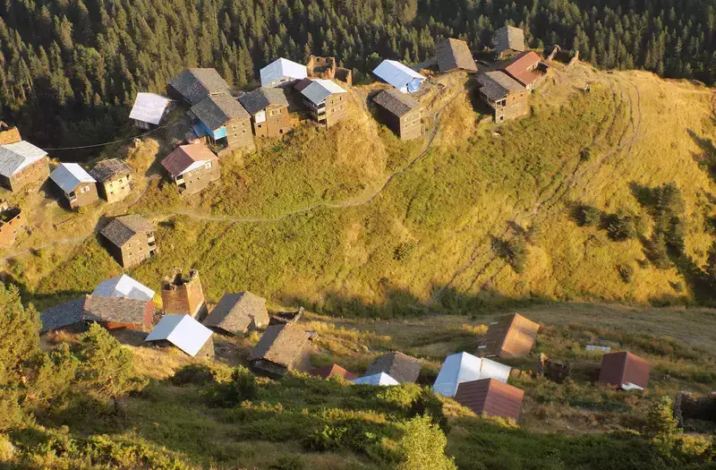
Omalo
Omalo is the main village of Tusheti, from here you can hike in all directions. Most trails start on a gravel road and continue through forests. A short hike near the village leads to the Bezoar viewpoint, near the Tourist Information Center.
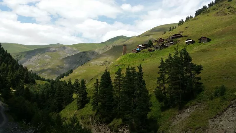
Shenako
On the neighboring plateau of Omalo is the village of Shenako. A short hike from here leads to Diklo village and Diklo fortress, and a longer hike from the top of the range leads to Chigho village in Pirikita valley.
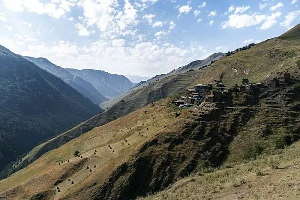
Bochorna
As the highest settlement in Georgia, the village of Bochorna at 2300m does not have a designated hiking trail, but can be reached from the Nakle Kholi pass.
Khakhabo
On the western side of Omalo village, can be hiked either from Omalo, across the small bridge on the river, or from Chiglaurta village on a gravel road. There is a trekking route from Khakhabo to Gometsari valley that passes the top of the western slope of the mountain.
Kumelaurta
Can be reached by hiking from Omalo, but the route follows the main gravel road and can be dusty when it’s not raining. From Kumelaurta you can hike up to Lake Oreti and come back in a day.
Pirikiti
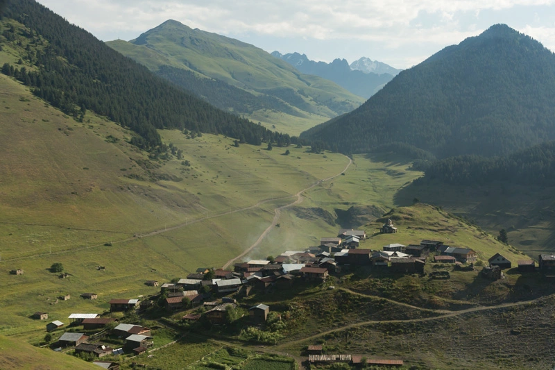
The northernmost part of Tusheti, Pirikiti Valley is a long south-facing slope that has always been used by shepherds as pastures. Here you will see many ruins of medieval villages and war towers. The main hiking feature of this valley is the Atsunta route, which leads to the Khevsureti region. The route starts from the village of Girevi.
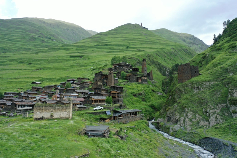
Dartlo
Probably the best preserved medieval village, with some nice guesthouses. From Dartlo you can take a short hike up to the village of Kvavlo, or you can reach Dartlo from the village of Chigho. The latter follows a gravel road, but it’s rarely used and won’t be too dusty.
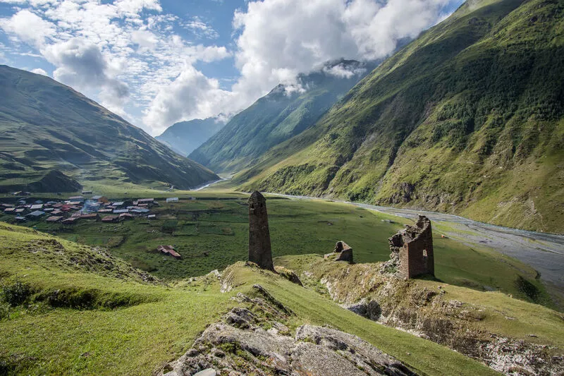
Girevi
Girevi is the last inhabited village in Pirikita Valley. It is the starting point of the Atsunta Trail, which will take you to the Khevsureti region in 2-3 days. The valley splits into two smaller ones and both can be used as a hiking route, although the southern valley is less used and the trails are not marked.
Chigho
You can walk to Chigho from Shenako or Diklo villages. The village is on the southern slope, so it can get quite hot on a sunny day. From here you can follow the gravel road to Dartlo village.
Kvavlo
Kvavlo village is a 1 hour hike from Dartlo village. If you’re planning to stay in Dartlo for the night, it’s a good option to come up to Kvavlo for an amazing sunset view.
Gometsari
The Gometsari Valley is the least explored hiking area in Tusheti. Passes at the end of the valley lead to Khevsureti, Pshavi and Kakheti regions, depending on which route you take. There are less inhabitants and very few accommodations here, but it gets high points on wilderness and raw beauty of nature.
Dochu
Dochu is the first village when entering into the valley. From here you can hike to Goglurta village, which itself has 3 other hiking routes going within the valley. One of the hikes join the route coming from Khakhavo village, mentioned above.
Verkhovani
From Verkhovani village you can hike to Pirikita valley. The route is very steep and due to the southern slope it’s quite hot in the sunny weather.
Trails
Most of the paths in Tusheti have been created for centuries and millennia. Local shepherds and horsemen often use them for grazing and transportation. The only marked trail is the Omalo – Atsunta – Shatili route, which partly follows the main gravel road.
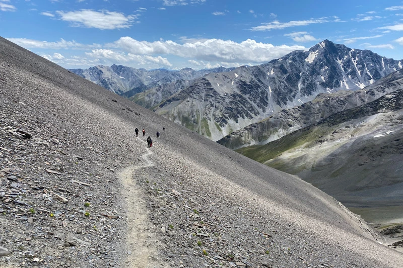
As this trail is close to the Russian border, you will pass several border posts where you will be checked. It is obligatory to have a hiking permit, which must be obtained in advance.